


More On World Weather Attribution's Milton And Helene Climate Change Pseudoscience

The deeper you dig into the whacky world of extreme weather attribution science, the whackier it gets.
I’ve been looking further at the Imperial IRIS paper and the WWA study of Helene. First the WWA study. Here is what it says:
There has been a recent observed global warming of about 1.0°C, putting the global mean temperature close to about 1.3°C above pre-industrial temperature at the time of Gaemi [?]. Regional and local prediction of absolute PI [potential intensity] by climate models is problematic as they are known to have biases. Regional observed changes are difficult to distinguish from natural variability. We therefore make the assumption that the anthropogenic trend is the global zonal mean PI trend, and use the observed PI trend since 1979 from ERA-5 (figure 5.1). There is some warming from pre-industrial to 1979 for which we have incomplete potential intensity data. To estimate the pre-industrial potential intensity state we extrapolate backwards the current observed trends. This approach avoids the selection of any climate model. The method is simple and robust.
OK, so the first thing here is to make clear what the ‘potential intensity’ is so we can better understand what the authors are saying. The IRIS paper identifies what it calls the “lifetime maximum intensity” [LMI] of any given hurricane, which basically is when the hurricane is at its strongest in terms of windspeed (which usually occurs prior to landfall) and it models the decay only of the hurricane thereafter in order to arrive at an estimate for the windspeed at landfall:
IRIS is novel because, unlike other synthetic TC models, it only simulates the decay from the point of lifetime maximum intensity
The WWA study explains that the potential intensity is the thermodynamic state of the ocean environment, which puts physical constraints upon the development of the hurricane up to the point where it reaches full strength [LMI].
We explore this method here using a new global tropical cyclone wind model (IRIS) with several key innovations. It recognises that the key step for estimating landfall windspeed is the location and value of the life-time maximum intensity (LMI). It redefines the problem as one of decay only. The initial intensity, life-time maximum, is assumed to be physically constrained by the thermodynamic state as defined by the potential intensity (PI).
PI is intimately related to sea surface temperature as is made clear by the authors of the IRIS Imperial paper:
The principal physical constraint on the model is through the thermodynamic state as defined by the potential intensity which depends on the sea surface temperature (SST) and the vertical temperature and humidity profile.
So what the authors of the WWA Helene attribution study are saying when they refer to the trend in PI from 1979 (beginning of satellite observations) and the extrapolation backwards of that trend to the preindustrial era is that they are assuming all of the rise in sea surface temperature in the Gulf of Mexico from 1850 to the present is due to man-made climate change, and they are explicitly ruling out any natural variability which may have contributed to high Gulf sea surface temperatures this year plus the observed trend since 1979. Wow. That’s a hell of an assumption. Is it realistic? No! It’s very likely that multidecadal internal variability has played a significant, even dominant role in the rise in Gulf of Mexico sea surface temperature since 1979. Natural variability might also have been at least partly responsible for the overall post industrial increase. As this paper says:
This study uses skeletal variations in coral Sr/Ca from three Siderastrea siderea coral colonies within the Dry Tortugas National Park in the southeastern Gulf of Mexico (24°42′N, 82°48′W) to reconstruct monthly sea surface temperature (SST) variations from 1734 to 2008 Common Era (C.E.). Calibration and verification of the replicated coral Sr/Ca-SST reconstruction with local, regional, and historical temperature records reveals that this proxy-temperature relationship is stable back to 1879 C.E. The coral SST reconstruction contains robust interannual (~2.0°C) and multidecadal variability (~1.5°C) for the past 274 years, the latter of which does not covary with the Atlantic Multidecadal Oscillation. Winter SST extremes are more variable than summer SST extremes (±2.2°C versus ±1.6°C, 2σ) suggesting that Loop Current transport in the winter dominates variability on interannual and longer time scales. Summer SST maxima are increasing (+1.0°C for 274 years, σMC = ±0.5°C, 2σ), whereas winter SST minima contain no significant trend. Colder decades (~1.5°C) during the Little Ice Age (LIA) do not coincide with decades of sunspot minima. The coral SST reconstruction contains similar variability to temperature reconstructions from the northern Gulf of Mexico (planktic foraminifer Mg/Ca) and the Caribbean Sea (coral Sr/Ca) suggesting areal reductions in the Western Hemisphere Warm Pool during the LIA. Mean summer coral SST extremes post-1985 C.E. (29.9°C) exceeds the long-term summer average (29.2°C for 1734–2008 C.E.), yet the warming trend after 1985 C.E. (0.04°C for 24 years, σMC = ±0.5, 2σ) is not significant, whereas Caribbean coral Sr/Ca studies contain a warming trend for this interval.
So the authors identify interannual variability of 2.0C and multidecadal variability of 1.5C (not covarying with AMO) both of which exceed considerably the ‘more than 1C’ of warming along Helen’s path which the attribution paper says is entirely due to climate change:
Along Helene’s track, ocean temperatures were consistently more than 1°C warmer than they would have been in a world without climate change, and were made at least 200 times more likely during most of Helene’s lifetime. We conclude that warmer Sea Surface Temperatures along the track of Hurricane Helene were strongly influenced by climate change, which affected Helene’s environment and made it more likely for the storm to develop and intensify throughout its lifetime.
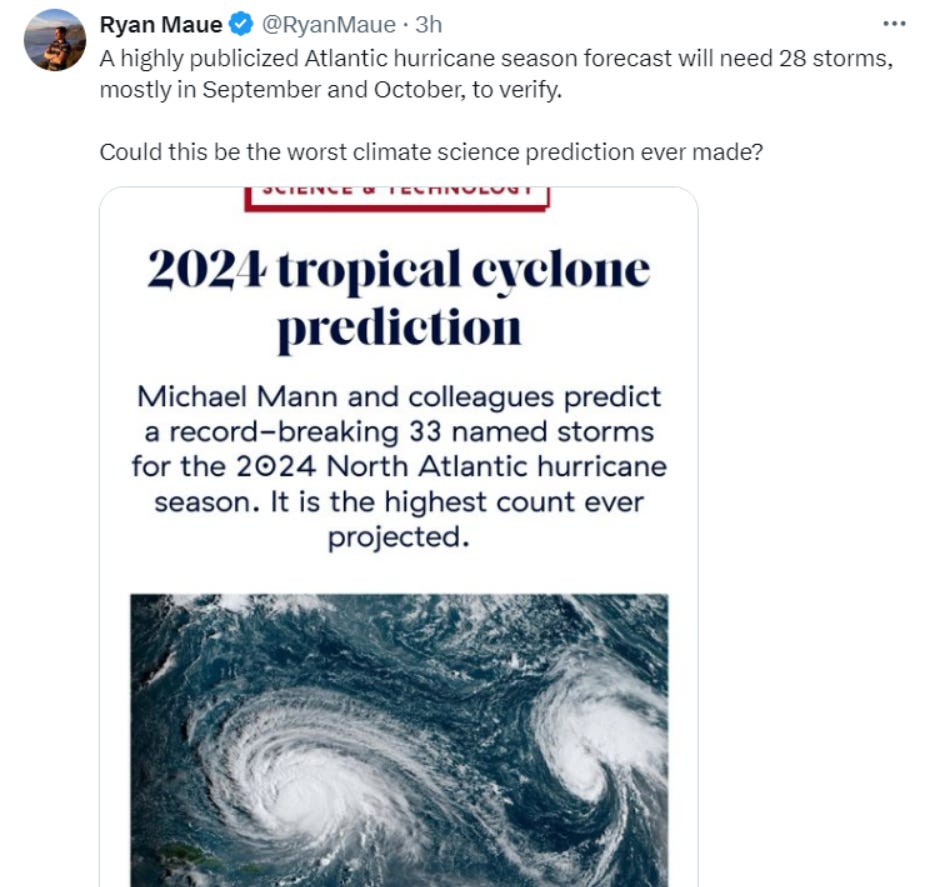
So, was it climate change or interannual or multidecadal variability which resulted in record warm waters in the Gulf of Mexico this year? Is this what increased the likelihood of a major storm hitting Florida, Tennessee or North Carolina? Meteorologist Ryan Maue is sceptical on that point:

We should all be sceptical because in fact the 2024 hurricane season was predicted several months ago to be a record active season because of record warm tropical Atlantic sea surface temperatures (allegedly due to climate change), but it’s turned out to be an extraordinarily quiet season so far, excepting Milton and Helene.
Why, because the eastern tropical Atlantic cooled:
Eastern Equatorial Atlantic Swings Suddenly From Record Hot To Anomalously Cold - Experts Are Baffled

It looks like the long run of record warm sea surface temperatures in the tropical Atlantic since march 2023 is over - with a bang. June and July sea surface temperature in the equatorial east Atlantic has been anomalously cool.
IRIS is NOT a Predictive Model
A curious thing to note finally is that the authors of the IRIS paper say that their model is not a predictive model and that the 10,000 years of data are fixed to the “current climate” [1980-2021]:
The IRIS dataset is based on the mean of the 42-year input observations. The 10,000 year output is fixed to the “current” 1980–2021 TC climate rather than a prediction of any sort. The IRIS model produces independent synthetic years, so the dataset has no inter-annual correlation which may be important for some applications, for example, calculating multi-year risk. The magnitude of the inter-annual variability in the dataset resembles that of the 42-year observation period which may not contain the full range of the multidecadal variability of the Earth climate system.
Indeed, 42 years is not much longer than the agreed ‘climate normal’ period of 30 years which is used to define the ‘current climate’ and past climates for the purpose of identifying ‘climate change’, such period being sufficiently long to average out any natural variability in annual weather over that period. IRIS generates 10,000 ‘years’ of synthetic tropical cyclone data which basically covers all the possible tracks and intensities of hurricanes in the north Atlantic for the ‘current’ [1980-2021] climate, validated by using the 42 years of observations and which are thermodynamically constrained by sea surface temperatures in the current climate.
However, the authors of the WWA study use IRIS to statistically model hurricanes in the present and preindustrial cooler climate and thus derive estimates of hurricane potential intensity in both climates by assuming that the rise in sea surface temperature since 1979 is all anthropogenic and by extrapolating that anthropogenic trend back to 1850!
The IRIS model was used to investigate Helene’s strong winds by analysing storms making landfall within 2 degrees of Helene. By statistically modelling storms in a 1.3°C cooler climate, this model showed that climate change was responsible for an increase of about 150% in the number of such storms (now once every 53 years on average, up from every 130 years), and equivalently that the maximum wind speeds of similar storms are now about 6.1 m/s (around 11%) more intense.
Sounds like pure pseudoscience to me, colloquially known as bullshit.
*“In sum, a strategy must recognise what is possible. In climate research and modelling, we should recognise that we are dealing with a coupled non-linear chaotic system, and therefore that the long-term prediction of future climate states is not possible.”*
**IPCC Working Group I: The Scientific Basis, Third Assessment Report (TAR), Chapter 14 (final para., 14.2.2.2), p774.**
The first quoted sentence of the WWA paper looks like dissembling. According to the BBC, global temperatures breached the UN’s precious 1.5°C limit about a year ago, thanks to the massive spike in global warming due to the 2022 verboten-to-mention Hunga Tonga undersea volcanic eruption: https://www.bbc.co.uk/news/science-environment-68110310.
Professional liars and cheats.